Savoie Hiking Campsite: Your Ideal Base Camp Between Lakes and Mountains
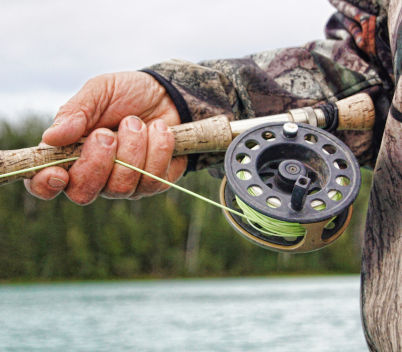
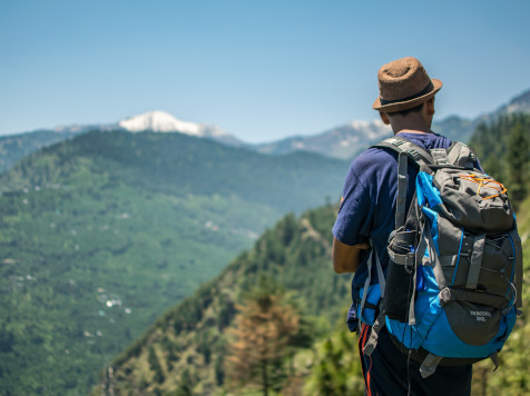
The crunch of hiking boots on a shale trail, the heady scent of spruce warmed by the sun, and that majestic silence that belongs only to the summits… Welcome to Savoie, the hanging garden of France. If you thirst for wide-open spaces and wild nature, you know that every step counts. But after climbing peaks and crossing passes, the walker’s rest is sacred.
To fully experience the mountain journey, nothing surpasses camping. It is the direct link to the elements, the promise of falling asleep under the stars and waking up facing the peaks. Whether you are a contemplative walker or a devourer of elevation gain, finding the right Savoie campsite is the first step to a successful stay. This is where your adventure begins, nestled between turquoise lakes and dizzying massifs.
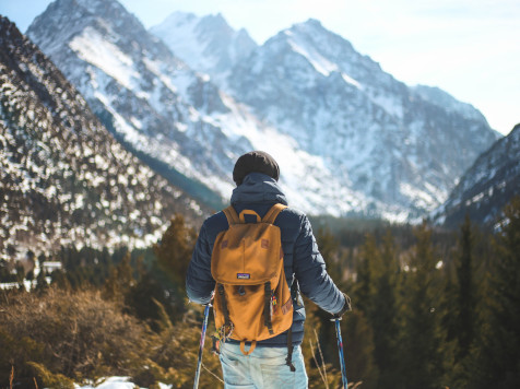
Savoie is not simply a department; it is an invitation to move. Choosing camping for your hiking holiday means giving yourself total flexibility and an immersion that hotels cannot match.
Trails for All Levels
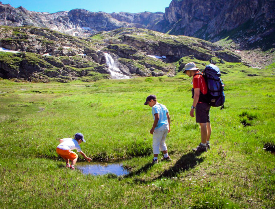
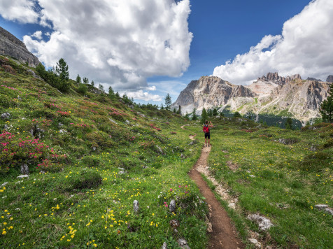
The advantage of hiking in Savoie is its inclusivity. Here, pleasure is not measured only by the height of the summit. You will find a multitude of walking activities: almost flat balcony trails for families, medium-difficulty routes for panorama lovers, and vertical tracks for seasoned sports enthusiasts.
A Campsite as a Comfortable Nature Base
Modern camping has truly changed. Today, you find the perfect balance between adventure and comfort. After a day of effort, returning to your private terrace, preparing a barbecue with friends, and enjoying the estate’s services is an accessible luxury. It is the perfect place to swap route tips with other passionate hikers over a drink.
Camping Eden de la Vanoise: Your Hiking Campsite in Savoie
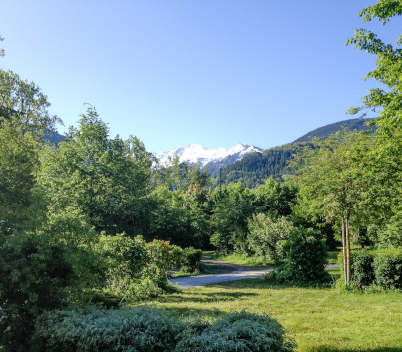
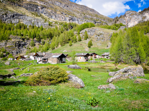
Ideally located in the Tarentaise Valley, Camping Eden de la Vanoise is a true hub for walkers.
Our location is privileged, sitting at the junction of fascinating worlds. If you seek verticality, the Vanoise National Park reaches out to you. If you prefer the softer reliefs of the Bauges Regional Nature Park or the foothills of the Chartreuse Massif, a few kilometers are enough to change the atmosphere. This central position makes us a prime choice base.
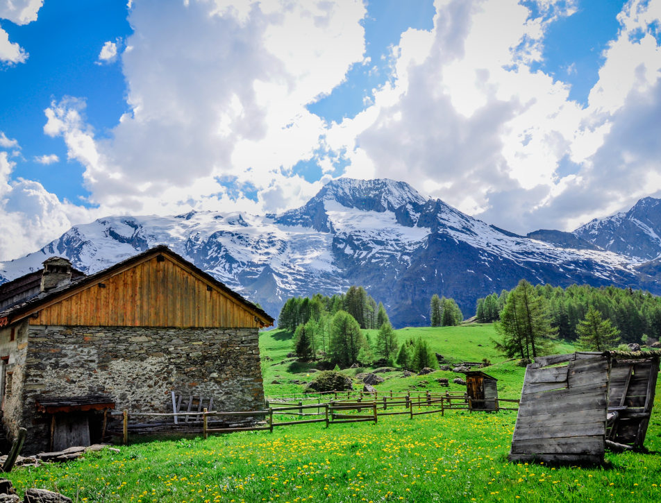
Accommodations to Rest After the Effort
We know that a tired hiker needs a good night’s sleep. We offer a wide range of comfortable chalets and mobile homes. Our accommodations are designed to offer genuine recovery: quality bedding, an equipped kitchen to recharge your batteries, and of course, a terrace to contemplate the mountains you will climb the next day. For touring purists, our tent and caravan pitches are grassy and well-defined.
A Pool for Recovery
This is the secret of wise hikers: hydrotherapy. Our indoor pool heated to 28-30°C is the ideal place to relax muscles after a big day of walking. Diving into water at the perfect temperature helps limit soreness so you can head out in top shape at dawn. It is the “well-being” asset of your stay.
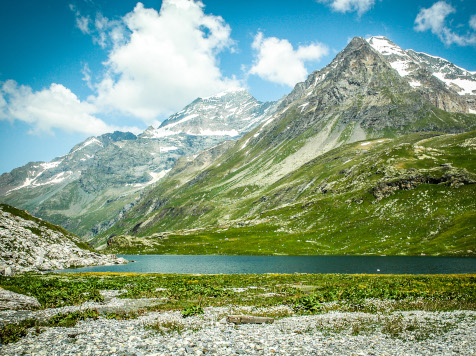
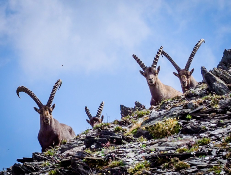
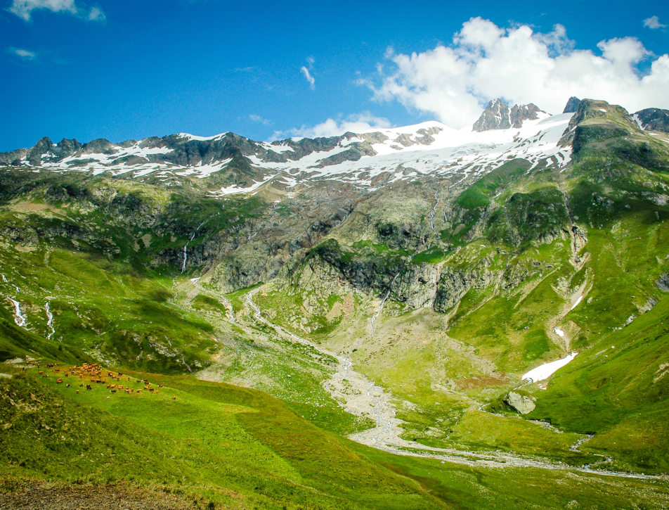
The Vanoise National Park
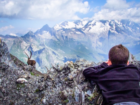
This is the wild heart of Savoie. As the first national park created in France, it protects exceptional fauna and flora. Ibexes, chamois, and bearded vultures might just be your trail companions.
Tips and Equipment for Hiking in Savoie
The mountain is beautiful, but it demands respect. Here are a few golden rules:
- Weather: Always check local forecasts before heading out. In Savoie, the weather can change very quickly. Simply come ask us at reception!
- Footwear: Do not hike in brand-new shoes! Make sure you have walking boots that provide good ankle support.
- Water and Food: Always pack more than necessary. High-altitude efforts dehydrate you quickly. The water is potable everywhere on the campsite!
- Maps: Do not rely solely on your phone (due to battery or network issues). We sell IGN maps at reception.
Services Upon Returning from Your Hike
At Camping Eden de la Vanoise, we have thought of everything to make your walker’s life easier:
- Info Point: Our team knows the trails like the back of their hand. We sell IGN maps at reception.
- Laundry: Essential for freshening up your technical garments after a few days of walking.
- Bakery: Fresh bread and pastries can be ordered the day before for the morning (opening at 7:30 AM), with breakfast formulas available on our terrace.
- Dining: Our snack bar welcomes you every evening in July and August for local beer and specialties. The rest of the year (May-June-September), group menus can be arranged or you can visit the two village restaurants located 500m away (“L’Alpin” or “Le Col du Palet”).
- Indoor Heated Pool (28-30°C): Absolute relaxation for your joints after walking in the heat or the crisp summit air.
- Wi-Fi and Info Point: Free high-speed Wi-Fi across the campsite to check weather in real-time and plan tomorrow’s itinerary.
- Relaxation Space: An arranged tent with billiards, foosball, and picnic tables and chairs.
FAQ – Savoie Hiking Campsite
IGN maps, trails starting from the campsite, hikes for children, difficulty levels around the area…
Does the campsite provide hiking maps?
Yes! We make IGN maps available for purchase at the reception desk.
What hikes start directly from the campsite?
Several connecting trails start from the village of Landry, making it very easy to reach the famous GR5 trail.
Are there easy hikes for children?
Absolutely. The greenway path along the Isère river, as well as many other hikes accessible within a short twenty-minute drive, are perfectly suited for little legs.
What levels of difficulty are available nearby?
We cover the entire spectrum: from easy walking paths (green) to steep high-mountain trails (black). To each hiker their own path!
Book Your Hiking Stay at Camping Eden de la Vanoise
It’s time to trade your screens for distant horizons. By choosing our campsite, you are not just booking accommodation; you are treating yourself to an open gateway to the most beautiful peaks in France. Whether you prefer a fully equipped mobile home or a traditional tent and caravan pitch, our estate is ready to welcome you.
Come and breathe, walk, sweat, and above all, marvel. Savoie is a land of sharing where every path leads to a discovery. Between two climbs, our heated pool awaits you for a well-deserved moment of relaxation.
Don’t wait any longer for the summits to call you. Check our availability and book your hiking stay in the heart of the Alps today!