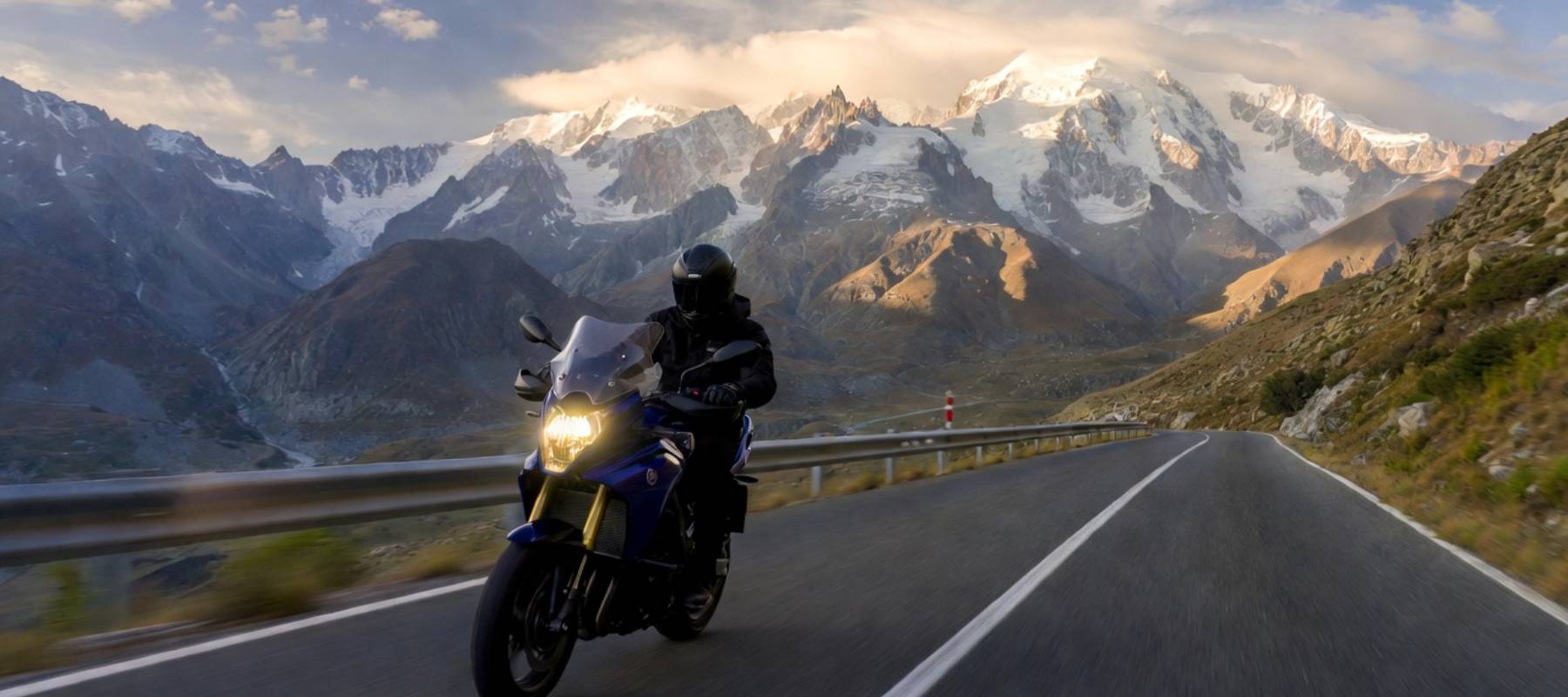
Tour du Mont Blanc by motorbike: route and tips for your road trip
The roof of Europe does more than dominate the horizon. It fascinates every rider. Can you feel the urge? The urge to make the engine roar facing the glaciers on a legendary loop through 3 countries. Preparing this Tour du Mont Blanc by motorbike calls for military precision. Is your bike ready? Is your GPS loaded? Not so fast. You need a strategy and, above all, a well-located base camp! Before hitting the road, settle in at our campsite in Savoie, L’Éden de la Vanoise. Located in Landry, it is the ideal starting point for tackling the passes.
Practical summary of the Tour du Mont Blanc by motorbike
- A loop around Mont Blanc: 200 to 250 km for the short version, often more than 320 km with detours and breaks.
- Crossing 3 regions: Savoie (France), Valais (Switzerland), Aosta Valley (Italy), each with its own roads and atmosphere.
- Must-ride passes: Great St Bernard, Little St Bernard, Cormet de Roselend, Col des Montets, Col de la Forclaz.
- Plan breaks and refuelling, and watch out for fatigue.
- Navigation: TomTom GPS or smartphone, ideally with a GPX file to follow the exact route.
The route: a legendary loop through France, Italy and Switzerland
The Tour du Mont Blanc by motorbike is not a simple Sunday ride. It is an expedition. Along the way, you will brush the clouds, cross deep valleys and climb to summits where oxygen is scarce.
Savoie: the starting point of your Alpine adventure
When planning the Tour du Mont Blanc, think of Savoie not as a mere stopover but as the key stage that launches your legendary loop! It is on this French territory, often via Chamonix or Haute-Savoie, that you will take the pulse of the Alps, tackle your first hairpins and finalise your preparations before heading into Italy. It is here, at your mountain campsite, that you will adjust your gear to the altitude and fill up on fuel and scenery.
Savoie is undeniably the gateway to the legendary passes.
The classic Mont Blanc motorbike route
What are we talking about in practice? A loop of about 200 to 250 kilometres for the short version. But the reality on the ground is often different. With links and detours that are a must for the fun of it, your odometer will often show more than 320 kilometres.
Allow plenty of time, as average speeds drop in the mountains. Count on a big day of intense riding, or even 2 to really enjoy the scenery without racing against the clock. The route crosses 3 major regions:
- Savoie (Rhône-Alpes region): wide roads and legendary resorts.
- Valais (Switzerland): perfect tarmac and frequent speed cameras.
- Aosta Valley (Italy): Latin atmosphere, lively driving and strong espresso.
Warning: do not underestimate fatigue! This Tour du Mont Blanc motorbike circuit is demanding on the nerves and wrists.
The must-ride passes on this tour
The passes set the pace of your Tour du Mont Blanc by motorbike. Let us talk about the St Bernard passes.
- The Great St Bernard is the roof of the trip. It peaks at 2,469 metres. The change in altitude is brutal. You go from Valais vineyards to a mineral desert in just a few kilometres. The road quality is excellent on the Swiss side. On the Italian side, the descent towards Aosta in Italy is a giant slide.
- The Little St Bernard is gentler. It is the “pleasure” pass. The gradient is steady and visibility is perfect. As you head back down into France, you will happily settle into your biker campsite to debrief over a beer (find this pass and 3 others in our article on motorbike rides in Savoie).
Other passes are a must if you want to experience the whole massif, including the Cormet de Roselend, the Col des Montets and the Col de la Forclaz.
Our navigation tips
Getting lost in the Alps? Bad idea. The signal often drops and the valleys look alike. A navigation error can cost you 2 hours and a tank of fuel. Technology is your ally on this Tour du Mont Blanc by motorbike.
Choosing your co-pilot: TomTom Rider or smartphone?
Using a TomTom GPS or an app on your smartphone (such as Liberty Rider) is the eternal debate!
- The TomTom Rider: rugged, waterproof, glove-friendly screen. The winding roads option is magic.
- The smartphone: smooth, but beware of vibrations that damage cameras.
Make sure you have “Europe” maps. Switzerland is not included in the data roaming of every mobile plan. If you navigate on 4G, the bill will be steep. A TomTom GPS with offline maps is often safer than a phone searching for a signal. It is an investment that quickly pays for itself!
Why use the GPX format?
The GPX format is a universal file that contains the exact track of your Tour du Mont Blanc. Why use it? Because Google Maps wants to save you time via motorways or toll tunnels, whereas you want the passes and the small roads that make a motorbike road trip so beautiful. The advantage of the GPX format is that it forces the GPS to follow your waypoints.
A friendly tip: download your file in advance, as the signal drops in the mountains. At the top, 4G is often absent. If your route is in the cloud, you are stuck.
It is an unforgettable motorbike trip around the white giant. Looking for a secure place for your Honda or Yamaha? L’Éden de la Vanoise in Landry (Relais Motards label) welcomes you at the foot of the passes. Book your pitch at our campsite. The Mont Blanc road is waiting for you!
 Sébastien’s tip
Book your place with us before you set off: our Relais Motards label guarantees a secure area to park your motorbike, a real plus after a day on the passes. And check the weather in all three countries before leaving, a pass that is clear on the French side may well be closed on the Swiss or Italian side.