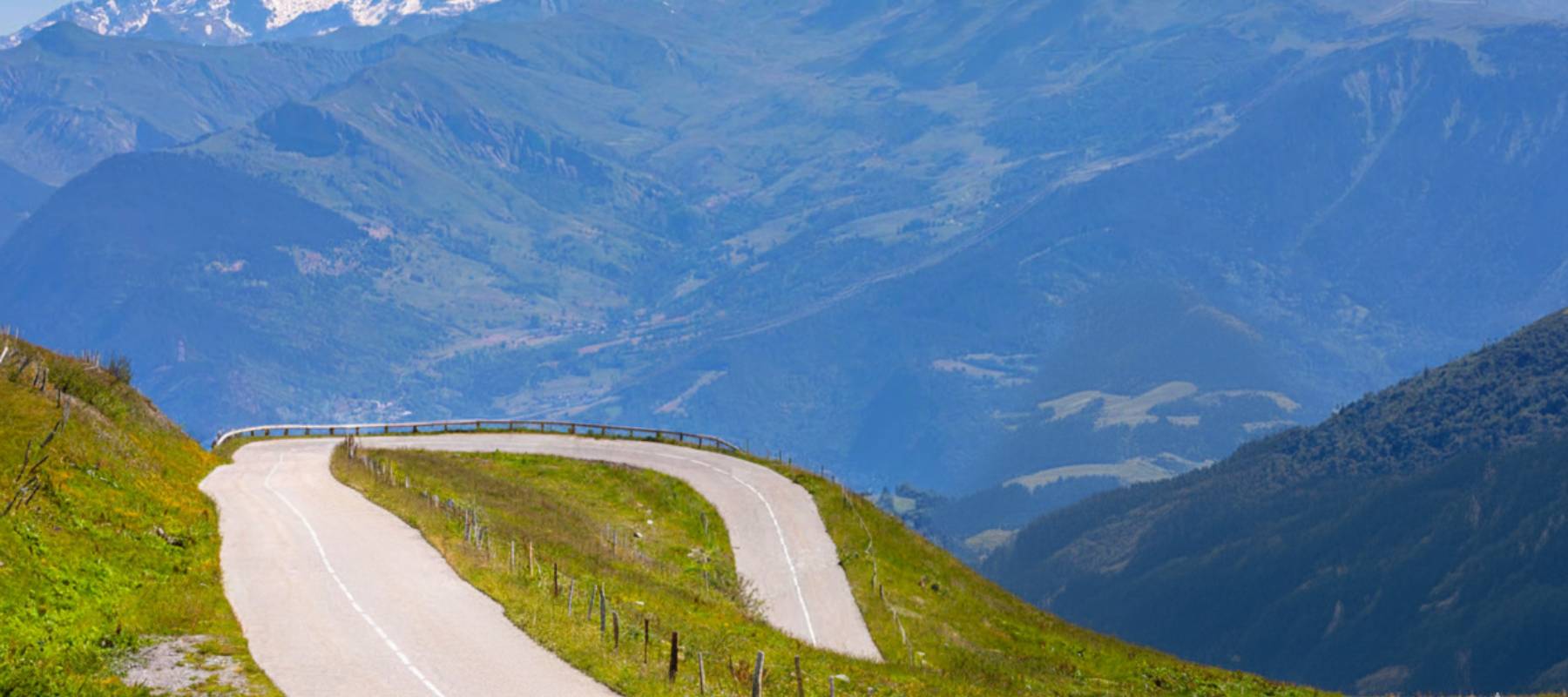
Col de la Madeleine: hikes and views of Mont Blanc
In short
The Col de la Madeleine peaks at 1,993 metres between the Tarentaise and the Maurienne, with a view of Mont Blanc. Cyclists can choose between two sides (Feissons-sur-Isère to the north, La Chambre to the south), and several hikes start from the pass: Lac des Tritons (easy), the Cheval Noir (moderate, 2,832 m) or the Valmorel ridge (difficult).
Key takeaways
- Altitude: 1,993 metres.
- Location: between the Tarentaise and the Maurienne (view of Mont Blanc).
- North side (Feissons-sur-Isère): beyond-category climb (forests & pastures).
- South side (La Chambre): very difficult, but open views.
- Lac des Tritons: easy, starts from the pass car park.
- The Cheval Noir: moderate, summit at 2,832 metres.
- Valmorel ridge: difficult, vast panoramas.
The Col de la Madeleine, perched at 2,000 metres (1,993 m to be exact), is a giant linking the Tarentaise to the Maurienne. It is a unique site in the Alps and an unmissable crossing point. Via the north side, it is quickly reached by guests at our campsite in Savoie, in Landry. Looking for an escape? This legendary place rewards you with a direct view of Mont Blanc during your hikes or bike rides.
A legendary pass on the Route des Grandes Alpes
The Col de la Madeleine built its reputation through the Tour de France: first used in 1969, it has already been crossed 28 times by the race, most recently in 2025. Epic duels on its slopes have marked the history of cycling. Why such success? The scenery is breathtaking. From your mountain campsite, this viewpoint is 47 km away. The view stretches to the Vanoise massif and the neighbouring peaks, rivalling the Col de la Croix de Fer or the Col du Glandon in beauty.
Hikers' reviews of the Col de la Madeleine are very positive. They highlight the splendid view of the Alps, the panoramic access and the many picturesque bends. Many recommend it by bike or on foot, while acknowledging that the climb is long and the gradient unforgiving.
The cycling challenges of the Col de la Madeleine
Ready for the climb up this legendary pass? The bike routes are a real test for your legs, with a formidable average gradient.
The north side climb (from the Tarentaise)
Starting from Feissons-sur-Isère (466 m), you set off on the climb up the Col de la Madeleine. The north side, more bucolic than the south, crosses forests and alpine meadows before revealing pastures with spectacular views.
The average gradient is deceptive, as it is very irregular. After demanding early slopes alternating sections at 8-10%, you tackle the last hairpins before reaching the top and enjoying the Banquise terrace, a must-visit spot on the pass.
Distance: 25.9 km; Ascent: 1,617 m; Average gradient: 6.5%; Level: beyond category
The south side climb (from the Maurienne)
From La Chambre, the climb up the south side via Montgellafrey (100 km from the campsite) is more open and panoramic than the direct route.
After a smooth start, the gradient quickly sets in with a long section at 9.5% before a first respite in the village. A second steep section precedes a last flat stretch, then the road reaches Longchamp 1650 before joining the common final section to the pass.
This section of the Col de la Madeleine from La Chambre is a Tour de France classic, which is why we recommend it to enthusiasts, despite the distance.
Distance: 19.7 km; Ascent: 1,519 m; Average gradient: 7.7%; Max gradient: 11.5%; Difficulty: very difficult
3 hikes from the Col de la Madeleine
Looking for a hike at the Col de la Madeleine? Here are 3 routes with panoramic views of the Alps.
Lac des Tritons
From the large car park at the Col de la Madeleine, reached from the Tarentaise, set off to discover Lac des Tritons (2,025 metres), famous for its newts in spring. The trail goes around the Les Deux Mazots bar-crêperie, then crosses pastures and stony valleys before reaching the lake. The return follows a path below the lake, leading straight back to the car park. An easy, family-friendly walk, ideal for enjoying peaceful alpine nature.
Distance: 4 km; Duration: 1 h; Ascent: 50 m; Level: easy.
Col de la Madeleine via the Valmorel ridge
Take the Altispace chairlift in Valmorel, 38 km from our holiday rentals. Then follow the pasture track past Les Voiles du Nant to the Altisurface. Continue to the Morel chairlift, then climb to the top of the Madeleine chairlift to enjoy a panoramic view.
Then descend to the Col de la Madeleine, cross the Rave valley and follow the Eau Rousse valley. Finally, pass by the Petit Mucillon, the Biard plateau and the ruins of La Pécy before returning to your starting point.
Distance: 16.69 km; Duration: 6 h 50; Ascent/descent: +716 m / -716 m; Difficulty: difficult.
The Cheval Noir
From the Col de la Madeleine, which we recommend reaching via La Léchère, take the track leading to the ski lifts. Then turn onto a small path that skirts the grassy shoulder before reaching the Col du Cheval Noir.
The climb continues through rocky steps and boulder fields to the summit (2,832 metres), which rewards you with an exceptional panorama over the Lauzière, the Vanoise, Mont Blanc and much more. The return follows the same route, for a demanding but grandiose hike.
Ascent: 910 m; Duration: 5 h 30; Difficulty: moderate.
Our practical information and tips for your activities at the Col de la Madeleine
- Rent your bike from our campsite!
- Always check the weather before climbing the Col de la Madeleine. The weather changes quickly at 2,000 metres.
- In winter, the Col de la Madeleine is closed, usually from November to June, due to snow in the high mountains.
- To hike or cycle on the Col de la Madeleine routes, set off early in the morning.
The Col de la Madeleine is a unique experience in France. Sporty or contemplative, everyone finds something to enjoy at this Alpine site. After the effort of the climb or the walk, relaxation is well deserved. Book your accommodation at Camping L’Eden de la Vanoise in Landry. A heated pool and comfort await you on your return from your expedition!
 Sébastien’s tip
If you do not have a bike, borrow ours, it is easier than bringing your own all the way here. And if it is your first climb, choose the north side from Feissons-sur-Isère: the south side is much tougher and dreaded even by Tour de France regulars.
See on the map